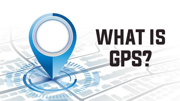
What is GPS?
GPS is a space-based global navigation satellite system that provides reliable location and time information in all weather and at all times. GPS has three parts: –
1. Space Segment (Satellite) :
Satellites in space work like stars in the sky in ancient times to find locations. They send signals from orbit directly to Earth for GPS. These satellites have been placed in 6 orbits around the Earth, at an altitude of approximately 24,000 km. There are 4 satellites in each orbit, revolving around the Earth every 12 hours.
2. Control Segment (Ground Stations) :
Ground stations in the control segment use radar to accurately determine the permanent location of these satellites. Additionally, they detect any satellite malfunction. The primary function of ground stations is to maintain, control and maintain satellites, ensuring their effective monitoring and operation.
3. User Segment (Receiver) :
In the user segment, receivers capture signals sent by satellites, enabling them to determine their location on Earth by calculating distance.
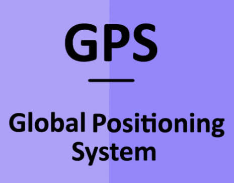
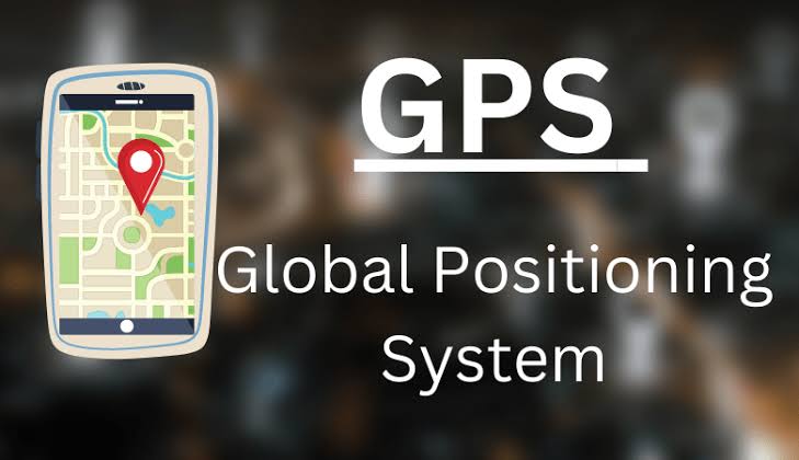
Full name of GPS –
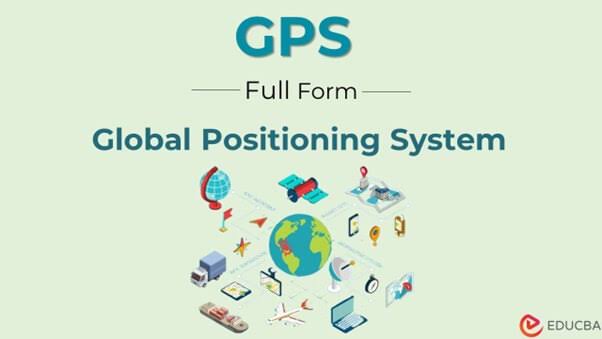
The full name of GPS is Global Positioning System. It enables anyone to accurately determine their location on Earth from anywhere in the world.
Definition of GPS –
If we translate the definition of GPS in Hindi, it means: ‘GPS: A navigation system that uses satellite signals to adjust the location of a receiver on or above the earth’s surface.
How does GPS work?
GPS depends on a network of 30+ navigation satellites orbiting the Earth. These satellites continuously send signals, which are picked up by your phone’s GPS receiver. By calculating distances from at least four GPS satellites, the receiver can pinpoint your location.
Now you must have known what GPS is – GPS Full Form in Hindi, definition of GPS and how GPS works. Next we will know what is the history of GPS :-
History of GPS :
GPS came into existence during the Space Age, when scientists used the “Doppler Effect” in radio signals to track satellites. In the 1960s, the US Navy used satellite navigation to track American submarines carrying nuclear missiles.
Six satellites orbiting the poles can monitor satellite changes in Doppler, which indicate the submarine’s location within minutes.
In the early 1970s, the Department of Defense (DOD) aimed for a robust, stable satellite navigation system. Adopting the ideas of naval scientists, DoD decided to employ satellites to support its proposed navigation system.
The DoD launched its first navigation system, NAVSTAR with Timing and Ranging, in 1978. The 24-satellite system became fully operational in 1993.
Uses of GPS :
1. Location detection :
GPS tracking is commonly used to find location. Many adventure lovers use GPS trackers for long trips. Imagine you’re on a walk with friends and get separated – GPS can help you find each other.
When you’re on a road trip or exploring unfamiliar places, GPS can take you safely and quickly to your destination by showing you the best route or shortcut.

2. Mapping and Surveying :
GPS is also useful in Mapping and Surveying Projects. Using GPS in survey saves time and cost for companies. This is the most effective way to survey places in minimum time. This technique can be applied for mapping project highways, power lines. , Crops, Soil types, Rivers, and more.
3. Preventing Car Theft :
Anti-theft device is one of the useful things to have when it comes to GPS applications. By installing tracking devices on vehicles, you will know where it is and whether your car is stolen or not. There have been many reports of stolen vehicles being recovered thanks to GPS technology.